Rosa Becker · 6 November 2026
Regional Agricultural Shifts Prompt Fresh Looks at University Research on Environmental Patterns and Visitor Trends
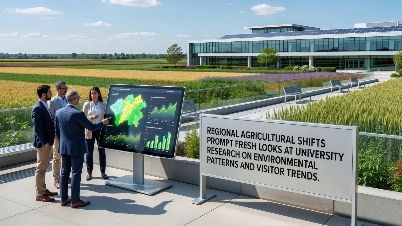
Regional agricultural shifts have accelerated in recent years, prompting renewed examination of university research that tracks environmental patterns and visitor trends across multiple zones. Data from monitoring stations show alterations in crop distribution and land use that coincide with measurable changes in local climate indicators and foot traffic at nearby natural sites. Observers note these developments have drawn attention from institutions that maintain long-term datasets on soil composition, precipitation variability, and seasonal visitation records.
Documented Changes in Cropping Patterns
Farmers in several districts have adjusted planting schedules and crop selections because of extended dry periods combined with occasional heavy rainfall events that affect soil stability. Records compiled through 2025 indicate a measurable increase in acreage devoted to drought-resistant varieties, while traditional staples occupy smaller portions of the same fields. University teams have cross-referenced these adjustments against satellite imagery and ground samples collected over the past decade, revealing correlations between altered vegetation cover and shifts in local temperature ranges during growing seasons.
Research groups at multiple campuses continue to update models that integrate agricultural census figures with hydrological measurements, and findings released in late 2025 highlight how reduced forest buffers near cultivated areas coincide with faster runoff during storms. These observations connect directly to visitor data gathered at trailheads and scenic overlooks, where attendance logs show spikes during shoulder seasons when weather patterns deviate from historical averages.
University Datasets on Environmental Variables
Long-running projects at regional universities maintain archives that include soil moisture readings, pollen counts, and wildlife sighting reports gathered from fixed transects. Analysts have begun overlaying these records with agricultural census updates to identify whether land-use modifications influence microclimate stability. One study completed in 2025 examined temperature differentials between intensively farmed parcels and adjacent conservation zones, noting that differences narrow or widen depending on irrigation intensity and cover-crop adoption rates.
November 2026 updates to these datasets are expected to incorporate additional sensors installed along river corridors that border active farmland, allowing researchers to track nutrient transport more precisely during spring melts. The expanded network will also feed into visitor trend analyses by correlating river levels wth reported usage of adjacent recreational paths.
Visitor Trend Correlations
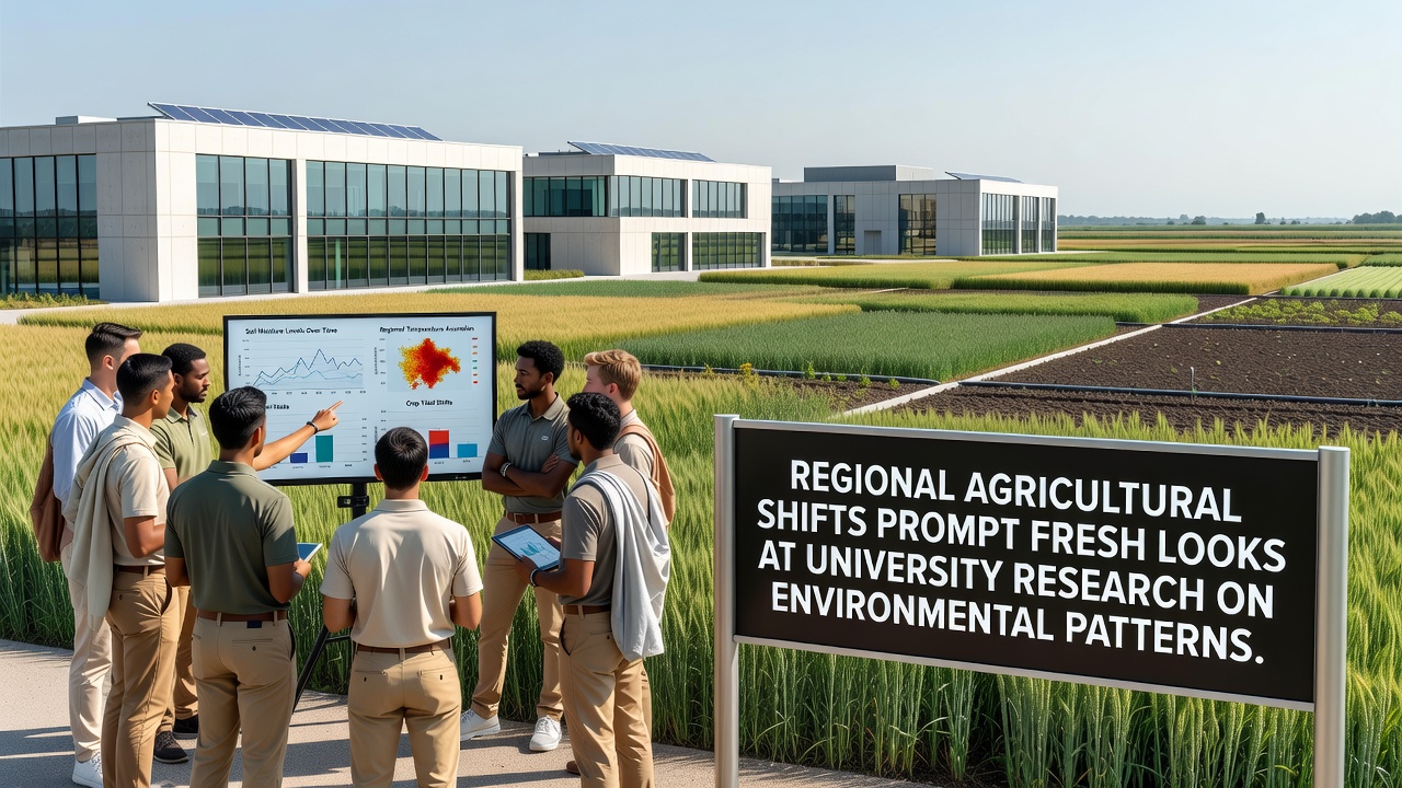
Park agencies and tourism boards have shared anonymized entry counts that show increased mid-week visits to protected areas near transitioning farmland. Researchers attribute part of this pattern to altered bloom times and wildlife movement corridors that now intersect more frequently with public access routes. University statisticians have applied time-series methods to separate weather-driven visitation changes from those linked to visible landscape modifications such as new hedgerow plantings or irrigation pond construction.
Cross-border comparisons with agencies in neighboring regions reveal similar upticks in shoulder-season attendance when agricultural calendars shift earlier or later than historical norms. These parallels have encouraged joint data-sharing agreements that standardize collection protocols for both environmental sensors and automated visitor counters.
Integration of Research Streams
Teams from different disciplines now combine agronomic records with atmospheric and ecological measurements to produce integrated reports. A 2025 collaboration between agronomy and geography departments produced maps that illustrate how changes in field boundary vegetation correlate with observed alterations in bird migration timing and tourist photography hotspots. The same maps feed into planning documents used by local governments when they evaluate trail maintenance budgets and signage placement.
Funding agencies have issued calls for proposals that explicitly require inclusion of visitor behavior metrics alongside traditional agricultural and environmental variables. This requirement reflects recognition that public engagement with landscapes can influence both land-management decisions and the long-term viability of monitoring programs.
November 2026 Outlook
Preparations for the November 2026 data release include calibration of newly deployed weather stations positioned at the edges of expanding specialty-crop zones. Preliminary summaries circulated among participating institutions indicate that visitor logs from the previous summer already reflect measurable responses to earlier harvest dates in several districts. Analysts expect these figures to strengthen statistical links between agricultural calendars and recreational use patterns when full datasets become available.
Workshops scheduled for early 2027 will focus on standardizing metadata formats so that future agricultural census releases can be merged more efficiently with visitor and environmental archives. The workshops will also address how to incorporate real-time sensor feeds from university networks into public dashboards that display both land-use trends and site attendance.
Conclusion
Regional agricultural adjustments continue to intersect with environmental monitoring and recreational use records in ways that prompt ongoing refinement of university research frameworks. Coordinated data collection across agricultural, ecological, and visitor domains supplies the factual basis for these refinements, while November 2026 updates are positioned to add further granularity to existing models. Institutions involved maintain active exchanges with counterpart organizations in other countries to ensure methods remain comparable and datasets retain long-term value.